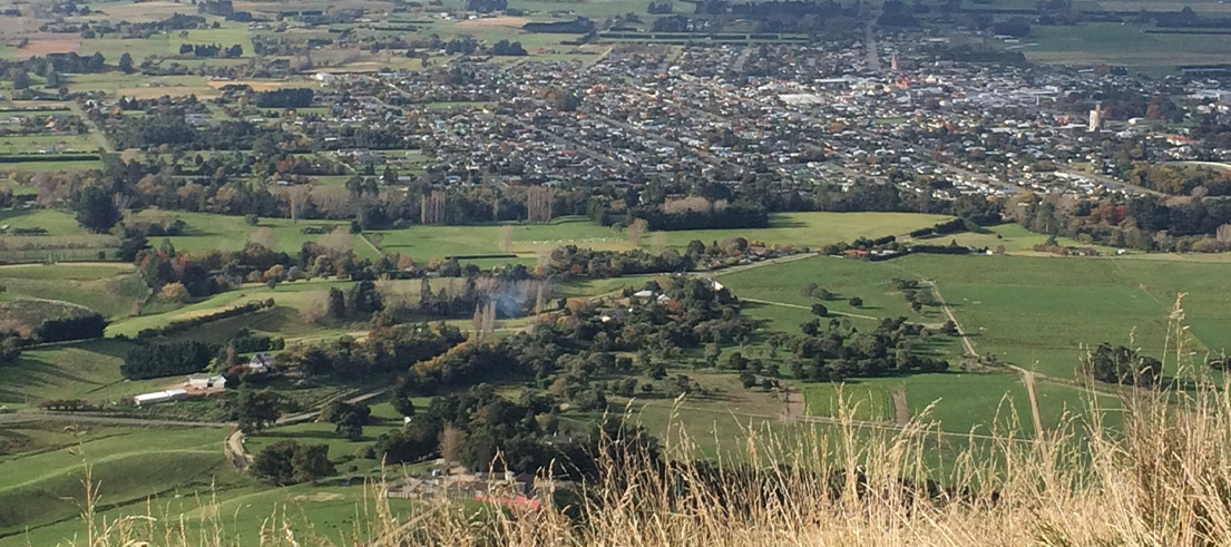
Historic sheep dips identified in Waimate research
Research on historic land use in the Waimate district has found that old sheep dips are the most common source of potential soil contamination in the area. This follows the trend of other Canterbury districts, including Ashburton and Hurunui, that also share a strong history of sheep farming.
The research, which has been shared with property owners, identified 302 possible livestock dip or spray race operations that had the potential to cause contamination of the soil. Other common land use activities identified in the research were old landfill sites and storage for horticultural pesticides. Property owners of affected sites have been sent letters outlining their land’s history and its inclusion on the Listed Land Use Register.
Regional councils throughout New Zealand are responsible for identifying potentially contaminated land and making this knowledge publicly available. We have been carrying out this research across Canterbury for more than eight years to build a better picture of how land has been used in the past, which helps us care for human health and the environment, including water and food/mahinga kai sources. We have now almost completed the research across Canterbury.
“Property owners have a right to know the historic use of their land. It is the role of the regional council to record that information and let the landowner know,” Environment Canterbury’s science team leader Stephanie Koviessen said.
“This is the starting point of a process which identifies land that has been used for activities that may lead to contamination,” Stephanie said.
“I would like to reiterate that most people will not need to do anything. It’s only if you’re considering subdividing or disturbing the soil on a site when you’d need to contact the Waimate District Council for advice.
“If investigation is required prior to future development, a site investigation and risk assessment may be required to supplement the consent application,” she added.
Historical land use research
This research project is about land use, not identifying contaminated sites. The research focuses on the Ministry for the Environment’s Hazardous Activities & Industries List (HAIL). These activities can contaminate land because of the use, storage, or disposal of hazardous substances. This can include former market gardens, sheep dips, landfill and rubbish pits, railway yards, motor vehicle workshops, cemeteries, scrap yards, and so on.
Many of the urban sites in the district had already been identified. The latest research used aerial imagery, so the new information mostly relates to rural-based activities best seen from the air, such as sheep dips, farm rubbish pits, and horticultural land uses.
The research identified just over 530 sites where hazardous substances might have been used. Of these 302 were former livestock dips or spray race operation sites, 114 were landfill sites, 64 were used for bulk pesticide storage or use, and 21 sites were used for waste disposal to land.
“This is what we’d expect to find in a predominantly rural district and is consistent with what’s been found elsewhere in Canterbury – having done this already in Hurunui, Waimakariri, Selwyn, Ashburton, Timaru, Kaikōura, and Christchurch,” Stephanie said.
You can find out more about potentially contaminated land on our website. There are factsheets about different HAIL activities, including sheep dips, horticultural sites, and landfills.
What do property owners need to do?
There is no requirement to do anything as a result of being on the LLUR unless property owners are:
- Doing earthworks
- Subdividing
- Changing the use of the land
- Removing or replacing an underground fuel storage tank
If carrying out these activities, property owners should contact the Waimate District Council to check if consents are required.
Landowners should also let tenants or prospective buyers know about the land use history of the site.
We welcome landowners to get in touch to discuss their properties and provide us with any additional information they may have, such as any records, photographs, or site investigations/remediation work we have not had access to in our research. We can then either agree to modify our records based on this conversation or offer an appeal process if a property owner wants to challenge our decision. Where it is available, additional information can be added to our records to demonstrate that although the land has been used for a particular purpose, contamination is unlikely.
Are there health risks?
The risk of exposure to contaminants in soil is likely to be low if people follow Canterbury District Health Board’s common sense precautions. The addition of your property to the database does not relate to drinking water quality (but if your drinking water comes from your own private well or bore, you are responsible for checking for contaminants). There is more information on the Community and Public Health website.