Hazards and navigation safety events
Here you'll find current information about hazards and navigation safety events in the Canterbury region.
Navigation safety alerts are short-term warnings about temporary or changing risks on the water, issued when conditions are unsafe or unpredictable.
Notified hazards are known, ongoing hazards that are permanently or regularly present in a waterway. They do not include everyday risks that a prudent skipper or boatie would normally expect and watch for. This information is not an exhaustive list of all hazards that may be present.
Report a boating incident, accident or hazard: Report unsafe behaviour, accidents or hazards on the water to our Harbourmaster's Office. For urgent issues, call 03 328 9168
Current navigation safety alerts
Fence wires in Waipara River
7 May 2026
There are exposed fence wires stretched across the Waipara River following recent flooding in the area.
Please navigate with extreme caution.

Approximate location of the exposed fence wires across the Waipara River
Concrete blocks in Rakaia River
7 May 2026
- Concrete blocks are located in the Rakaia River (true right, downstream of Dobson Ferry Road)
- Please navigate with caution
- Works are planned for winter to relocate the blocks

Location of concrete blocks in the Rakaia River downstream of Dobson Ferry Road
Car hazard in Waimakariri River
12 January 2026
Located in one of the braids near Groyne 16 on the Waimakariri River. The closest entrance by road is Downs Road.
Please navigate with caution.
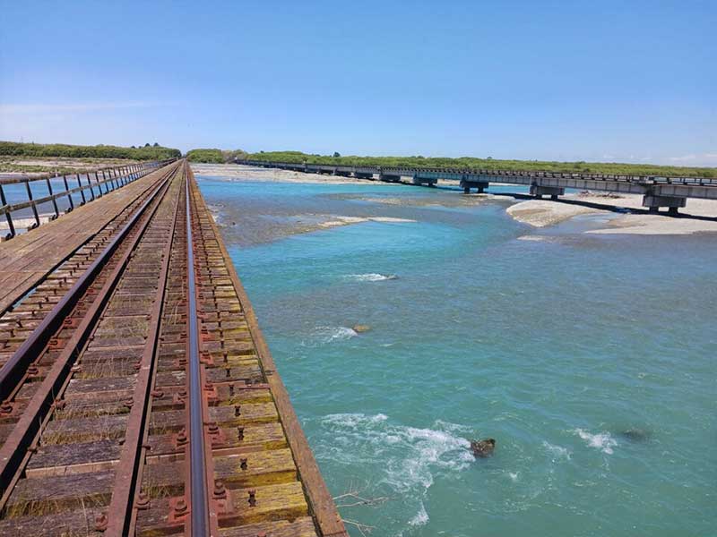
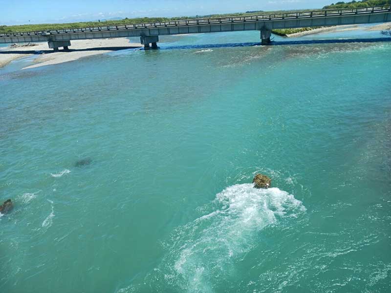
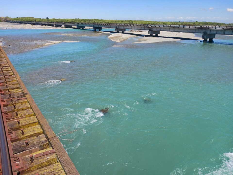
Railway iron in Waimakariri
18 December 2025
Railway irons have been found on the south bank of the Waimakariri River upstream of Haul Road.
Please navigate with caution.

Location of railway irons
Controlled release of water at Benmore Dam, with releases at Aviemore and Waitaki
What’s happening
- Meridian will begin controlled water releases at Benmore Dam from Thursday 11 December
- Releases at Aviemore and Waitaki will follow
- Lake levels are very high and nearing maximum consented limits
Safety advice
- Follow all signage and instructions
- Keep a safe distance from the water’s edge
- Take extra care downstream of dams and hydraulic structures
Learn more about how to stay safe this summer in the southern lakes area
Paraglider wing near Boulder Bay
2 December 2025
A paraglider wing has been jettisoned into the water around Boulder Bay (Taylors Mistake), and has not been located.
The wing poses a risk to boaties, with many lines to get tangled in. The wing is primarily dark blue with white and red in it.
Please exercise caution in the area around Taylors Mistake.
SurfCom have been advised.

Last known location of the paragliding wing
Fallen tree in Waimakariri River braid
2 December 2025
A large tree has fallen blocking the true left side braid of the Waimakariri River, approximately 2km downstream of Woodstock.
There is an alternate braid to the right. Please navigate with caution.

Location of fallen tree
Weed screen in Huritini Halswell River
28 November 2025
We operate a weed screen across the Halswell Canal, which lies flat on the bottom when not in use. It is tethered via piles and a winch, and spans the full width of the Huritini Haslwell River. It is authorised by resource consents.
It lies flat on the bed when not in operation, and is raised to vertical during weed cutting operations. In addition to the net, there is rock armoring placed on the bed and banks.
NZTM 1565595.92 5155009.90
Lat/Long -43.7571, 172.5726

Huritini Halswell River channel hazard
Potential spill of Lake Takapō
Updated: 28 November 2025
As a result of high inflows, Lake Takapō has reached its Maximum Control Level. We continue to maximise generation through the Tekapo Power Scheme. Genesis will likely need to spill water from Lake Takapō into the natural bed of the Takapō in the coming days.
Prior to any spill occurring, Genesis intends to fly by helicopter the length of the Takapō River bed to warn any public in the vicinity of the river of the anticipated flow. We are currently notifying a number of parties to ensure that people are aware. Take care accessing areas downstream of dams and hydraulic structures in case of flow changes.
We are monitoring the forecast and inflows closely and will update you further as more information becomes available.
Waimakariri River - railways iron hazard
11 November 2025
Railway irons have been found in the upper Waimakariri River between Mt White and Bealey bridges.
Please navigate with caution.

Waimakariri River channel hazard
Tree hazard in Rakaia Gorge
22 July 2024
Two trees are pointing downstream in the Rakaia Gorge. They are upstream but close to the gorge bridge.
The river is very low so please navigate with extreme caution in this area.
Motunau river hazard
17 May 2024
The river channel has become very narrow and curvy due to large sea swells recently. This has caused a large buildup of sand. Please navigate with extreme caution.

Motunau river channel hazard
Lake Camp in Ashburton Lakes
8 April 2024
Lake Camp in Ashburton Lakes currently has a very low water level. There may be underwater hazards may be present. All vessels should navigate with extreme caution.

Railway irons below the surface of the Waimakariri River
5 February 2024
Railway irons have been reported just below the surface of the Waimakariri River upstream of Mount White by the railway bridge. Navigate with extreme caution.
Railway irons reported just below surface on Waitaki River
1 December 2023
A number of railway irons have been reported just below the surface of the Waitaki River when the river is at 500 cumecs.
The location is between the SH1 bridge and the Rail bridge, true left of the river. Please lower your speeds in the area and keep a lookout for hazards.


Submerged trees near the Waiau Uwha rail bridge
A number of trees are stacked up against the rail bridge over the Waiau Uwha River.
Some of the trees are submerged and difficult to see. Please lower your speeds in the area and keep a lookout for hazards.


Large log in Waimakariri River
There is a large log just below the surface of the Waimakariri River, just south of Burkes Point. The log has been marked with a red buoy and its approximate location is marked with a red GPS location marker on the map below. Please navigate with caution in this area.
GPS coordinates: 43 23.641S; 172 40.635E

Rockfall upstream of Rakaia Gorge Bridge
We have received a report of a potential large rockfall approximately 4.5km upstream of the Rakaia Gorge bridge. Keep aware whilst navigating this area and do not stop in the vicinity.

Rockfall upstream of Rakaia Gorge Bridge marked by yellow dot.
Railway irons in the Waiau Uwha River
We have had a report that there are exposed railway irons in the Waiau Uwha River in the region of Bruce's Groyne. There is also a 'sputnik' type of concrete/steel object in a channel a little way downstream.
Railway irons in the Rangitata River
Two railway irons have been spotted poking out of the Rangitata River. They are located in the main river flow, approximately 500m above the Rangitata River Bridge - SH1.
We will remove the railway irons as soon as possible. In the meantime, please stay alert and keep your speed low in the area.
Railway irons in the Waiau Uwha River
Two sets of railway irons have been spotted poking out of the Waiau Uwha River, west of SH1. One set is in the middle of the river channel. The other set is on the north side of the river channel.
We will remove the railway irons as soon as possible. In the meantime, please stay alert and keep your speed low in the area.
Historic fencing may pose risk in Canterbury rivers
Rivers including the Poulter, Waiau, Waipara and Okuku may be adjacent to historic fencing that could encroach on the waterways.
River users are advised to check the area they are boating in prior to using the river. Before entering the water please ensure you are aware of any hazards and take safety precautions to avoid getting entangled.
If you come across any man-made hazards on the river, please take a photograph with details of the exact location and send it to harbourmaster@ecan.govt.nz. If you are also aware of the contact details for the adjoining landowners, please also forward this information. We can then update our hazards page so the public is aware of any action being taken to remediate the issue.
Various waterways in the Canterbury Region
Fluctuating water levels on various waterways, including rivers, lakes, and lagoons in Canterbury may result in fences, waratahs, or other objects being obscured from view and sitting below the surface. All water users are strongly recommended to exercise caution and keep your speed to 5 knots or less within 200 metres of the shore, unless the area is uplifted or has any other form of speed exemption. It is the responsibility of the skipper of the vessel to ensure that the area you are using is navigable and safe to transit.
Lower Clarence River / Waiau Toa - navigation safety hazards - sputniks
Sputniks are large concrete blocks with protruding steel beams that were historically used on rivers for bank protection. Many still exist on some rivers, including several in the lower Clarence / Waiau Toa, some of which are navigation safety hazards for those boating the river. For more information see the Sputniks notice (PDF 710 kB).
Brooklands Lagoon - submerged objects
Submerged and semi-submerged objects including tree stumps have been reported in the Brooklands Lagoon water ski area. Users of this area are advised to exercise caution as these objects may be difficult to see, particularly if navigating at towing speed.