
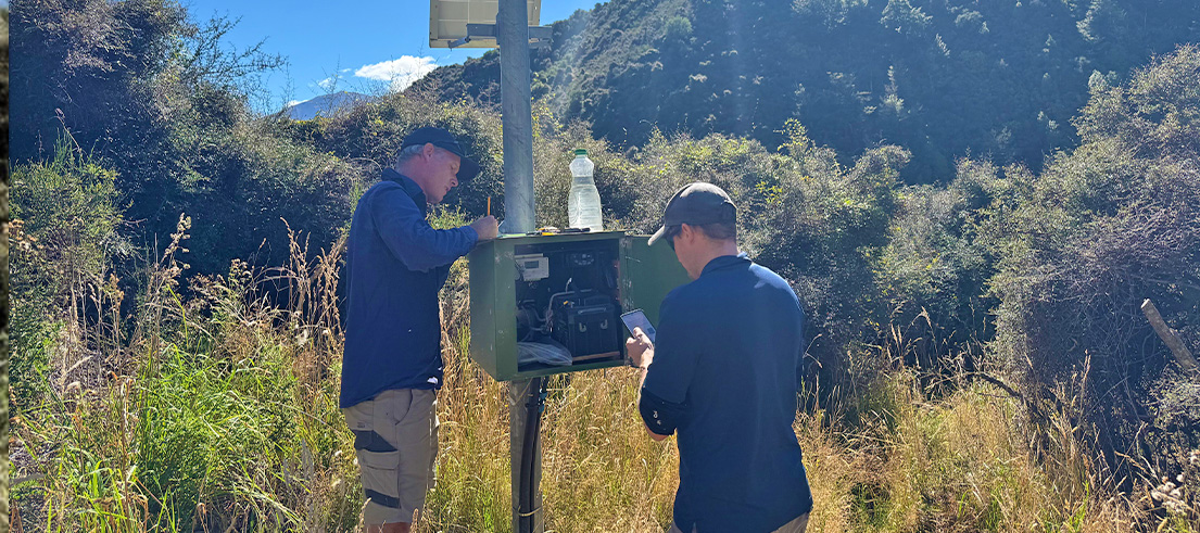
Even on calm days, Canterbury’s flood warning system is hard at work
When rivers are low and skies are clear, it might feel like flooding is the last thing to worry about. But across Waitaha Canterbury, a behind‑the‑scenes network is working year‑round to help keep communities safe when weather conditions change.
Canterbury Regional Council (Environment Canterbury) runs a flood warning system that starts long before water levels rise – right up in the headwaters of rivers like the Waimakariri Gorge. Keeping that system reliable depends on regular fieldwork, careful checks, and people spending time out on the river.
Monitoring Canterbury’s rivers year-round
One of those people is Riley Buller, Senior Science Technician in hydrology monitoring for North Canterbury.
Riley is part of Environment Canterbury’s Northern Hydrology team and looks after rainfall and river level monitoring sites across North Canterbury, including rivers like the Waimakariri.
This means regular time on the water, returning monthly to check monitoring sites and measuring how the river is behaving.
These visits are a vital part of keeping the flood warning system working as it should.
While monitoring sites continuously record river levels, that data needs to be backed up by real‑world measurements taken directly from the river.
“There’s a quality assurance side to the job,” Riley says.
“It’s a bit like a warrant of fitness. By checking the sites and equipment regularly, we can be confident everything is working properly when it’s needed most.”
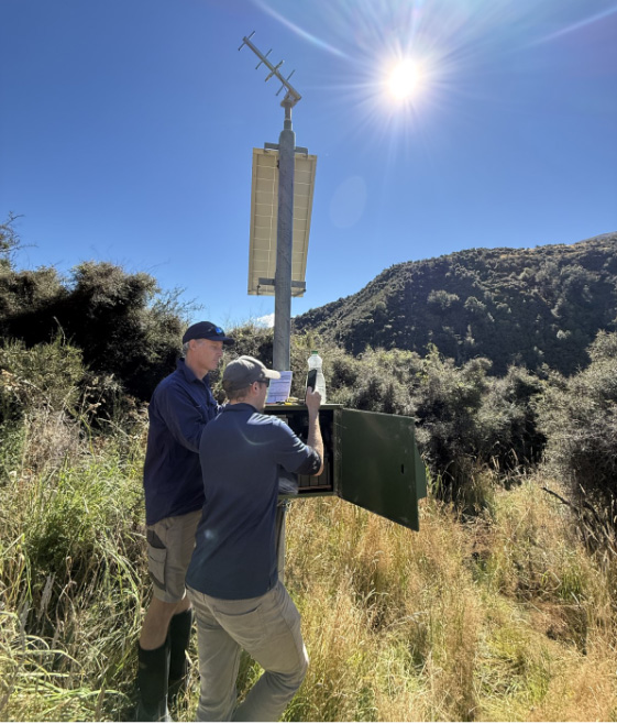
Checking a flood-warning monitoring station in the Waimakariri Gorge
How river monitoring data reaches flood forecasters
Once checks are complete, the monitoring sites continue working around the clock.
River and rainfall data is sent automatically from the field back to Environment Canterbury through satellite, radio and mobile networks.
This allows staff to keep a constant watch on rivers across the region, even in fine weather.
Because sites are regularly checked in person, staff can be confident the live data reflects what is really happening on the river when conditions begin to change.
“Our role is to make sure the information coming through can be trusted, so when river levels start to rise, the system is ready to respond,” Riley says.
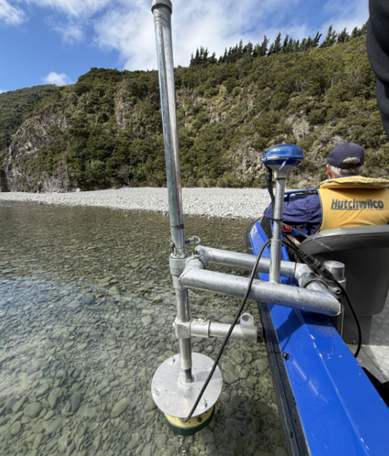
Riley checks monitoring equipment from a boat on the Waimakariri Rive
Turning river measurements into reliable warnings
River gauges measure how high the water is, but water height alone does not tell the full story. The speed and volume of flowing water can change even when levels look similar.
By measuring how fast the river is moving at different heights, hydrologists like Riley can confirm how much water is travelling downstream. This allows river level readings to be translated into meaningful information about river flow.
That relationship is critical. It is what allows the flood warning system to move beyond raw numbers and provide clear signals about when conditions are changing and when action may be needed.
Supporting decisions before and during floods
Data collected from rivers and rainfall sites feed directly into Canterbury’s flood forecasting and warning activities.
For large catchments like the Waimakariri, rain falling upstream can take 10 to 12 hours to reach Christchurch, so accurate data during that window helps build a clearer picture of what is coming.
This information supports flood controllers and Civil Defence to assess conditions and plan their response. It also helps ensure warnings are timely, consistent and based on the best available information.
A system built on ongoing field work
By keeping this network in good shape and taking the time to measure rivers directly, Environment Canterbury staff help ensure Canterbury’s flood warning system is ready when conditions change – supporting safer, more informed decisions for communities across the region.