
New investment in Waitaha Canterbury's Flood Warning System
In Waitaha Canterbury, a $2.5 million programme is underway to strengthen the resilience and reliability of the region's flood warning network as part of the national programme.
In October 2025, the Government announced $7.7 million from the Regional Infrastructure Fund (RIF) for the installation and upgrade of flood early-warning infrastructure across ten regions as part of its investment in flood resilience.
The project is being coordinated by Canterbury Regional Council (Environment Canterbury) on behalf of the ten participating councils. Councils are contributing 40 per cent of project costs, with the Crown funding the remaining 60 per cent.
The Regional Infrastructure Fund is administered by Kānoa – Regional Economic Development & Investment Unit.
Early warning systems help keep communities safe
Environment Canterbury Councillor Ian Mackenzie, Community Preparedness and Response to Hazards Core Service Lead, says strengthening flood warning systems is critical to improving public safety and ensuring communities can rely on them when they are needed most.
"Flood warnings are one of the most valuable services we can provide our communities given the volatility of our rivers and New Zealanders love of the recreational activities our rivers provide. This funding will help regional councils around the country upgrade the resilience of our warning systems."
Strengthening Canterbury’s flood warning network
Three of Waitaha Canterbury’s most critical flood monitoring sites have now been upgraded as part of a $12.88 million national programme to strengthen flood warning systems across Aotearoa.
We have identified 120 high-priority monitoring sites across the region. RIF funding will allow us to upgrade the first 90 sites over the next two years.
Future upgrades and wider improvements to the flood warning network will be considered through our updated 30-year Infrastructure Strategy and the Long-Term Plan process.
The technology behind flood warnings
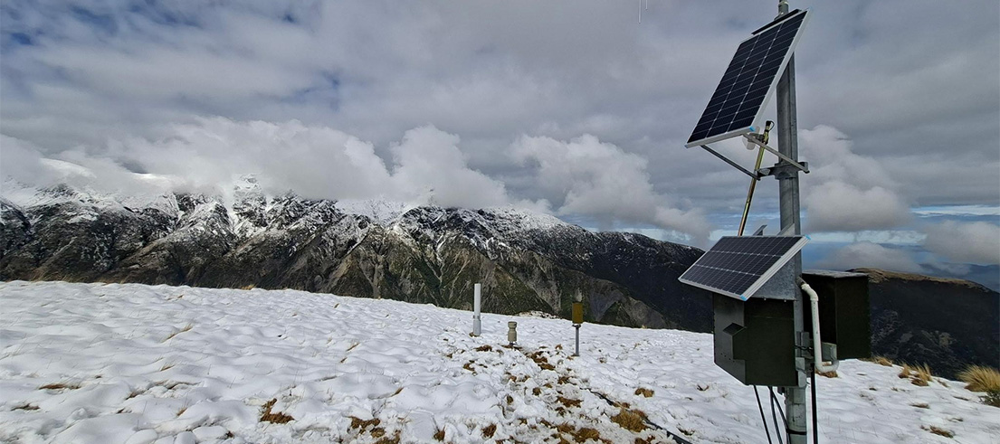
The sites use a range of monitoring technologies, including river level sensors, rain gauges and communications equipment, to collect and transmit river level, flow and rainfall information in real time. This real-time transmission of information, known as telemetry, supports flood forecasting, flood warnings and emergency response before and during severe weather.
The upgraded sites are being built to a new resilience standard that includes duplicated power supplies, communication systems, data loggers and sensors, reducing the risk of outages during major weather events.
Staff have also completed a review of the council's hydrometric network against industry standards and best practice, helping identify where resilience improvements are needed most.
Design and installation work is now underway on the next three high-priority sites, with the wider programme to be delivered over the next two years.