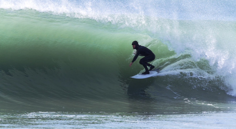
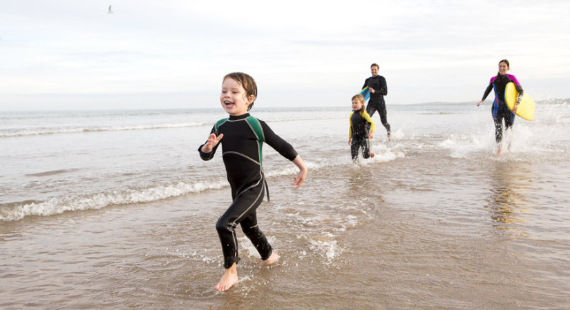
Protecting our glorious coastlines
Our coastlines are beautiful places and we want to keep it that way. This needs careful management to reduce pressure from industrial development and changes in coastal erosion patterns. It’s our job to manage coastal water quality, including discharges to the sea, and coastal hazards investigations, so that our coastal environment can be preserved and enjoyed by everyone.

The Canterbury wave buoy keeps watch
Waves are the driving force behind all the changes we see from day to day on the beaches of Canterbury. They have a huge impact on Canterbury's coast and coastal waters. The Canterbury wave buoy is moored in about 76 metres of water, 17 kilometres east of Le Bons Bay, Banks Peninsula at Latitude 43° 45’ South, Longitude 173° 20’ East.
We have developed wave measurement tools to make it easier to track coastal erosion and the impact of waves on our shoreline.
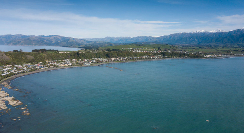
Tracking coastal water quality
In general, coastal water quality throughout Canterbury is high. However, in some areas water quality has diminished due to the impact of sewage disposal, siltation, oil spills and land use. The Regional Coastal Environment Plan provides direction on managing these impacts and restoring water quality.
Siltation is the pollution of water by earthy matter and fine sand being carried by moving or running water and deposited as a sediment. It can cause waterways to become murky, disrupting aquatic life.
Keeping an eye out for coastal hazards
There is a history of coastal erosion and seawater inundation along parts of the Canterbury coast, damaging property and threatening life. This is expected to occur more due to climate change, which may increase the frequency and severity of storms. In addition, sea level rise is expected to continue at an accelerated rate. Our wave measurement tools allow us to see what recent wave conditions are like so that we can track coastal erosion patterns and the impact of waves on our shoreline. We’ve also created coastal erosion maps so that we can efficiently identify and manage erosion hazard zones.
- Check out our wave monitoring tools
- Learn about the Lyttelton Port Recovery Plan
- Check the swimming water quality before you go for a swim
- View the Regional Coastal Environment Plan and related documents