Keeping you safer by reducing risk from natural hazards
We Cantabrians know that living in a region with such stunning nature comes with hazards. Our people live with risk of earthquakes, floods, tsunamis, landslides, storms and snowfall.
Combining the latest science with historical data, we hold the most up-to-date information on natural hazards in the region. Our assessments are used to develop policy, land use planning and emergency management planning. We then share these with you, so you can make informed choices about where you live, work and play.
We work closely with the region’s city and district councils to manage natural hazard risk, and are part of the Canterbury Civil Defence Emergency Management Group.
Earthquakes
Canterbury is where the Australian and Pacific tectonic plates are being pushed together, creating spectacular landscapes… and the potential for earthquakes.
Nobody can say exactly where and when an earthquake will occur but we do know where earthquakes and liquefaction are more likely to happen. We can tell you about the earthquake hazards in Canterbury and where liquefaction is most likely to turn the ground to jelly.
Floods
We have six large alpine-fed rivers and dozens of rivers with origins in the foothills of the Canterbury Plains.
Canterbury has a history of major rainfall and storm events which create river breakouts, local surface runoff and coastal inundation.
We can explain the probability of a flood occurring near your community and what we are doing to try to mitigate future events.
Environment Canterbury wants sustainable development of the floodplains without imposing unacceptable limitations or costs on future generations.
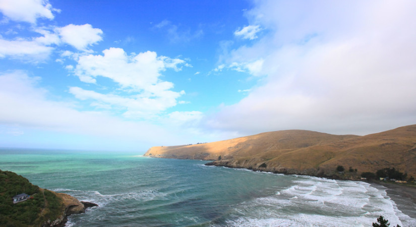
Tsunamis
The length of Canterbury's coast is exposed to tsunamis, from across the Pacific Ocean and closer to our shores. We can tell you which parts of the coast are most vulnerable and what you should know before one hits.
- Prepare for a tsunami
- View GeoNet
- Visit the Canterbury Civil Defence site