New study sheds light on sea-level rise in Christchurch
A recent study of vertical land movement jointly commissioned by us and Christchurch City Council has shed new light on the extent and speed of sea-level rise happening in parts of Christchurch.
The study, completed earlier this year by GNS Science, has shown that sea-level rise in some parts of the district could happen up to twice as fast as previously thought, as a result of increased land subsidence following the Christchurch and Kaikōura earthquakes.
"We all knew that the land changed dramatically as a result of the Canterbury earthquakes, and this new data shows the extent to which some areas have continued to subside after the earthquakes," says Christchurch City Council Team Leader Coastal Adaptation Planning Jane Morgan.
It’s also confirmed that most parts of the district are subsiding faster than before the earthquakes.
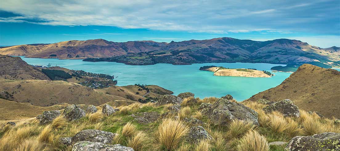
The greatest subsidence is happening around the edges of Ihutai Avon Heathcote Estuary, at Bexley, South New Brighton and Southshore, and Sumner, Redcliffs, Lyttelton Harbour and Koukourarata Port Levy.
Impacts of sea-level rise
We don’t yet have a good understanding of what’s happening in other parts of Banks Peninsula, due to the availability of data at the time of this work. But generally, where we have low-lying and coastal areas subsiding, it means the impacts of sea-level rise – coastal flooding, erosion and rising groundwater level – will happen sooner, giving us less time to plan and adapt.
In some locations where the land has sunk 10 to 20 centimetres since the earthquakes, the amount of sea-level rise previously projected to happen by 2050 could’ve already happened.
Vertical land movement is caused by movements in the earth’s crust. The upward or downward movements can be very fast, such as during an earthquake, or slow and gradual. Local land movements can happen from other processes too, such as liquefaction that might be triggered by an earthquake.
Global sea-level rise projections suggest Christchurch could see 14 to 23 centimetres of sea-level rise over the next 30 years. However, in places where land is subsiding at about 8 millimetres per year, such as parts of Brighton Spit and parts of Lyttelton Harbour and Koukourarata Port Levy, sea level could rise by 38 to 47 centimetres – twice as much over the same 30-year timeframe.
"We understand it’s common for land to keep subsiding after large earthquakes," says Jane. "While there’s no sign the subsidence has slowed down in Christchurch, evidence from other parts of the world tells us that, eventually, the speed of vertical land movement will return to normal. However, it might take another few decades and will depend on whether we experience more large earthquakes."
Planning and adaptation
The latest study, which was jointly commissioned by us, highlights the importance of early planning. It will help inform our work with communities to adapt public infrastructure and assets, such as roads, pipes and parks.
Our initial adaptation planning is already well underway with communities in the Whakaraupō Lyttelton Harbour to Koukourarata Port Levy area, which is one of the areas most affected by this new information.
We’ve been working closely with a coastal panel of community and rūnanga representatives to develop adaptation pathways for public assets, and to make sure that local values and knowledge are a key part of these discussions.
Over time, sea-level rise is going to have a big impact on how we live, use and move around our coastline and low-lying inland areas. In some places, we’re already seeing the impacts of more frequent and severe weather events.
"We don’t have all the answers about what life is going to look like in the future, but we know there are some important decisions we can all be making now to make sure we’re better prepared," says Jane.
Download the science report
Read the full report (PDF file, 2.01MB).
Visit letstalk.ccc.govt.nz before 10 December 2023 to learn more about the Christchurch City Council’s adaptation options for the Whakaraupō Lyttelton Harbour to Koukourarata Port Levy area.